
Next year marks the two hundredth anniversary of the first detailed map of Barnard Castle.
Our August workshop assembled to enjoy an informative and entertaining talk on Georgian Barnard Castle by Dr. Richard Witham.
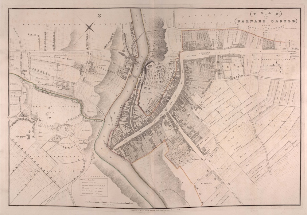
In 1827, the surveyor John Wood published the first detailed map of the town. Intriguingly he noted the owners or occupants of many of the buildings. The accuracy of his map is remarkable and barely differs from modern satellite imagery.
We learnt about the town’s prosperity derived from the wool trade and associated industries, particularly carpet weaving. The population rose and fell with the fortunes of the trade. The current population of the town is little changed from the heights of two centuries ago although the number of houses has significantly increased. Back then, an average of seven people occupied each property.
Dr. Witham had mined many sources of data. One striking fact was infant mortality that was a shocking 25% for 0–1-year-olds and 20% for those aged 1-18. Medicine was essentially primitive with the town’s doctor merely holding a classics education.
Our members left the workshop feeling better educated about our town and may be found counting windowpanes to identify Georgian properties.
Report by Peter Colley